


Description
Garmin Topo microSD Card Australia and New Zealand
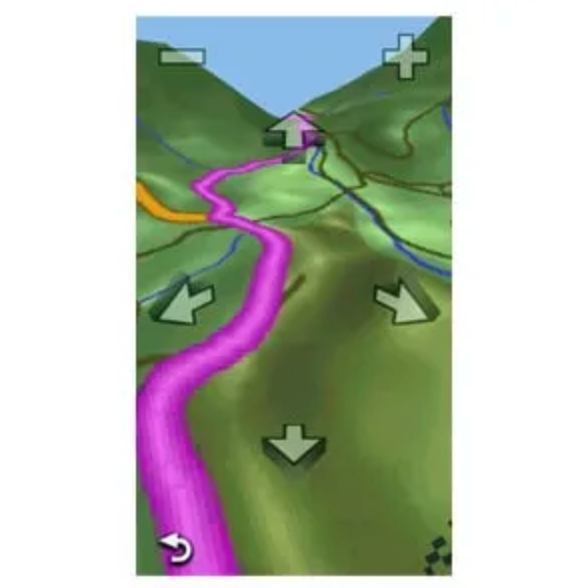
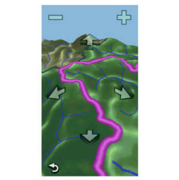
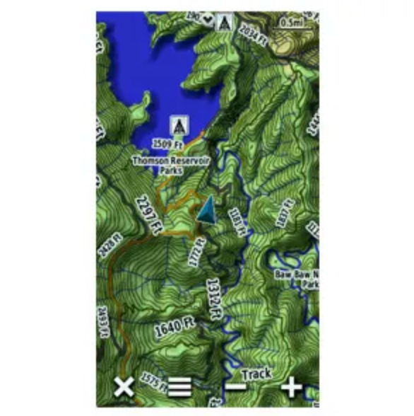
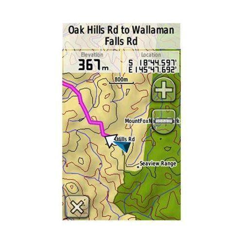
Get enhanced topographic detail on your compatible device whether you're in the outback or on a main boulevard in the city. This map provides a wide array of topographic information from terrain contours, elevations and summits to coverage of perennial and intermittent lakes, rivers and streams in Australia and New Zealand.
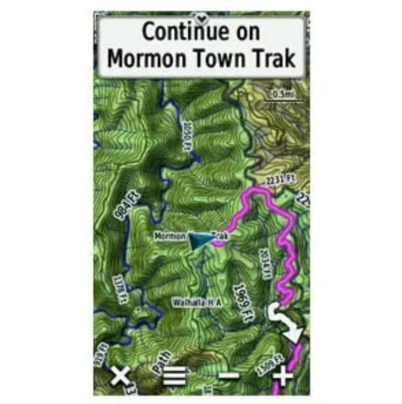
- Provides terrain contours and summit points at 10 m intervals for a more detailed view of the terrain
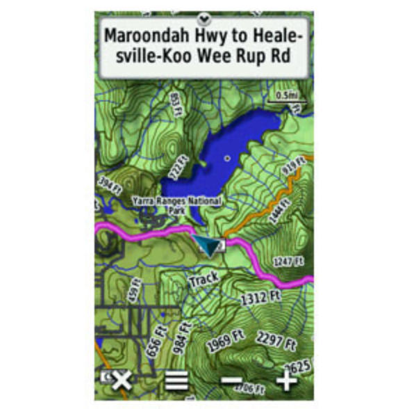
- Contains more than 105,000 km of tracks, roads and outback trails; also displays 4WD destinations and hydrographic features: lake/river shorelines and perennial and seasonal streams
- Includes built-in DEM data with 3-D shading and route elevation profiles on compatible devices so you can estimate terrain difficulty
- Offers updated and new searchable points of interest in urban, rural and outback areas, including lodging, restaurants, homesteads, parks, shopping and more than 4,000 camping locations
- Displays updated routable road content, by HERE, to give you turn-by-turn directions to your destination
Estimate shipping